


Description
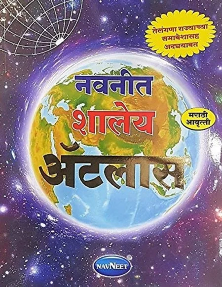
Map | Navneet Shaley Atlas | नवनीत शालेय ॲटलास | मराठी
The Navneet Shaley Atlas (also referred to as the Navneet School Atlas) is a widely used educational resource in India, specifically tailored for school curricula such as CBSE, ICSE, and State Boards.
Key Features and Specifications :
Target Audience: Primarily designed for students in Classes 4 to 6, though it serves as a foundational tool for general geography and topography studies.
Language Options: Available in multiple languages, including:
Marathi: Often titled “Navneet Shaley Atlas” for the Maharashtra state board.
Hindi: Designed for Hindi-medium schools.
English: Standard edition for English-medium schools.
Gujarati: Specialized edition for students in Gujarat.
Content: Includes high-quality maps of India and the world, focused on physical and political geography, updated boundaries, and socio-economic data relevant to school social studies.
Authorship: Frequently credited to authors such as Dr. R.P. Arya, Manubhai Kanakia, and B.R. Nandrekar.
Format: Typically a paperback book of approximately 74 to 96 pages, with dimensions around 28 x 21 cm.
Reviews
There are no reviews yet.